Selecting the right drone equipped with LiDAR technology can determine both the success and efficiency of your next mapping, surveying, or inspection project. Recent advancements allow for highly accurate data collection, drastically reducing project timelines while increasing precision. With an array of options on the market, knowing where to start can feel overwhelming. This post will guide you through important considerations to evaluate before making a purchase. Whether you are new to drone mapping or want to upgrade your current system, you soon know what to consider when choosing a Drone with LiDAR technology.
Understanding the Basics of LiDAR Drones
LiDAR, or Light Detection and Ranging, enables drones to generate precise, three-dimensional representations of the ground, vegetation, and structures. Unlike traditional cameras or photogrammetry, LiDAR systems use rapid laser pulses to measure distances between the drone and target surfaces. These pulses yield dense point clouds, which are crucial for producing accurate topographical surveys, vegetation analysis, and even infrastructure inspections.
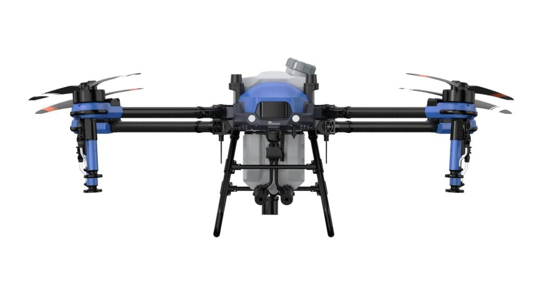
A drone that integrates a LiDAR sensor requires a powerful onboard computer for data processing and stable flight control. When searching for a drone with high-quality LiDAR, prioritize airframes that can safely carry and power advanced sensors. Drones such as the j100 drone have proven their reliability across challenging terrains and demanding survey conditions.
Evaluating LiDAR Sensor Specifications
The heart of any LiDAR-equipped drone is its sensor. You will need to evaluate point density, range capability, scanning speed, and wavelength. Higher point density means richer data and finer detail, which is particularly useful for construction site surveys, forestry applications, or urban modeling where detail accuracy is essential.
Select a LiDAR sensor with sufficient range for your desired applications. Long-range sensors provide flexibility for surveying expansive areas or capturing data from higher altitudes. Scanning speed also determines how much ground you can cover in a given time frame. Faster scanning means more efficient operations, but make sure your drone’s flight time supports the sensor’s capabilities.
Wavelength specifies the type of surfaces the LiDAR can accurately measure. Infrared wavelengths work best for vegetation studies, while near-infrared is preferred for topography and certain surface materials. Always compare sensor models and ensure compatibility with your intended use case.
Drone Platform Compatibility and Payload Integration
Not every drone frame can support every LiDAR system. The weight and shape of the LiDAR sensor, as well as the need for additional equipment such as inertial measurement units (IMUs) and GPS receivers, demand a robust and adaptable airframe. Evaluate your drone’s payload capacity to ensure it exceeds the combined weight of the LiDAR system and mounting hardware. This margin helps maintain stable flight, especially in windy or unpredictable environments.
Also, check for proper electrical integration. The drone must provide stable power to the LiDAR, IMUs, and any onboard cameras or communication systems. Some platforms are built from the ground up for modular payloads, while others require custom power or mounting solutions. Prioritize drones with proven track records of supporting the type and size of LiDAR sensor you plan to use.
Flight Time, Battery Life, and Operational Efficiency
Extended flight time dramatically affects productivity when collecting large volumes of LiDAR data. Batteries must not only power the propulsion system, but also provide reliable energy to all onboard electronics for the duration of each flight. Compare total flight times across drone models when operating with a typical payload. Keep in mind that advertised flight times typically assume ideal weather conditions and minimal equipment loads.
Quick-swap battery systems and fast-charging capabilities support busy workdays with minimal downtime. For remote or rugged field conditions without regular access to power sources, select drones with batteries that maintain stable voltage output in varying temperatures and environments. Check manufacturer data for real-world flight times, especially from customers with similar workflows to yours.
Data Accuracy and Reliability
Precise positioning forms the foundation of quality LiDAR data. Your drone’s inertial measurement unit and global navigation satellite system (GNSS) receiver significantly impact every aspect of your deliverables, including digital elevation models, contour mapping, and even the quality of raw point clouds. High-end LiDAR drones use advanced GNSS systems that support real-time kinematics (RTK) and post-processing kinematic (PPK) corrections. These technologies can reduce horizontal and vertical errors to just a few centimeters or less.
When evaluating accuracy claims from manufacturers, look for third-party validation or customer testimonials from similar use cases. Biases or inconsistencies in GNSS or IMU alignment will affect overall data quality, so verify that calibration workflows are straightforward and that the drone routinely meets published accuracy specifications.
Software Ecosystem and Data Workflow
Efficient data handling, from collection to processing and delivery, remains a critical component of success with LiDAR drones. Choose a system that integrates seamlessly with common surveying or mapping software such as ArcGIS, AutoCAD, or specialized LiDAR processing platforms such as LAStools or Terrasolid. The ability to easily export, visualize, edit, and share point cloud data will drive long-term value for your team.
Consider whether the manufacturer provides proprietary mapping software, third-party integration, or open-source tools. Assess customer service and technical support responsiveness, especially if your organization has unique workflow requirements. Favor software platforms that automate tasks such as ground classification, feature extraction, and data cleaning to reduce manual workload.
Durability, Environmental Resistance, and Field Support
Surveying with drones and LiDAR often means working in unpredictable environments. You must evaluate how well a drone’s airframe, propulsion system, and electrical components withstand wind, rain, dust, humidity, and temperature extremes. Look for features such as weatherproofing, redundant sensors, and strong radio-link performance wherever reliable operation is critical.
The most durable drones often feature protective housings for key sensors, reinforced propeller mounts, and redundant fail-safes in case of communication loss. Test data from customers can provide valuable insight into how drones perform in field conditions similar to those you face. When possible, visit industry expos or field demonstrations and ask about operational performance over time.
Budget Considerations and Return on Investment
While entry-level drones with LiDAR capabilities have become more affordable, you should still thoroughly evaluate the associated costs. Factor in the upfront price of the airframe and sensor, as well as software licenses, training, maintenance, replacements for consumables such as batteries, and ongoing support contracts.
Estimate the return on investment by considering both increased efficiency and the ability to deliver new types of projects. Professional teams report that the right LiDAR drone pays for itself within months through faster data delivery, higher accuracy, and fewer field visits. When possible, request references from customers in your sector to gain a deeper understanding of real-world cost savings and workflow improvements.
Planning for Future Needs
The technology in the drone and LiDAR space continues to evolve at a rapid pace. When selecting your drone, consider forward compatibility with future sensors, payloads, and software upgrades. Modular drone platforms allow users to adapt to new business needs or industry trends with minimal disruption to field teams or ongoing projects.
Anticipate upcoming projects and emerging regulations that may impact your operations. Regular discussions with your manufacturer or dealer can ensure your investment will serve your needs not only today but well into the future.
Setting Your Course for Success With Drone-Based LiDAR
What to consider when choosing a drone with LiDAR technology comes down to understanding your unique project requirements, technical evaluation, budget planning, and after-purchase support. You want a drone that meets your current and future needs, integrates seamlessly with your preferred tools, and withstands field challenges. Lean on industry reviews, customer testimonials, and direct manufacturer support during your evaluation process. Taking these steps will position your organization to deliver accurate, timely, and actionable data while maximizing your investment in LiDAR drone technology.


